
Manalapan Postal Place Coverage
Monmouth County's official place and ZIP table is the starting source for Manalapan postal research. The Manalapan ZIP Code Directory relies on that table for its place names. It lists 07726 with both Manalapan and Englishtown, and also identifies Tennent, Wickatunk, Freehold, and nearby boundary places. The table is not a municipal boundary map. A ZIP can span more than one local government area, while a Manalapan parcel can use a different mailing place. Keep the ZIP as a discovery clue and verify the Manalapan municipality in the underlying property, court, or archive record.
| ZIP | County-listed places | Postal reference | Manalapan research note |
|---|---|---|---|
| 07726 | Manalapan and Englishtown | County ZIP table names both places | A shared ZIP does not merge Manalapan Township and the borough. |
| 07763 | Tennent | Tennent postal place | Use as a Manalapan Township search term, then confirm the parcel municipality. |
| 07765 | Wickatunk | Wickatunk postal place | A Manalapan community clue that still needs address-level verification. |
| 07728 | Freehold | Freehold and county-seat area | May appear on a Manalapan parcel mailing line without placing the parcel in Freehold. |
| 07746, 07731, 08535 | Marlboro, Howell, and Millstone | Nearby boundary places | Use for disambiguation only, not as Manalapan coverage. |
The county source does not publish ZIP-specific Manalapan population totals, voter totals, a unique-institution ZIP, a PO-box-only ZIP, a realignment history, or station hours. Do not fill those gaps with a guess.
The official Monmouth County ZIP table is shown in the captured source below.
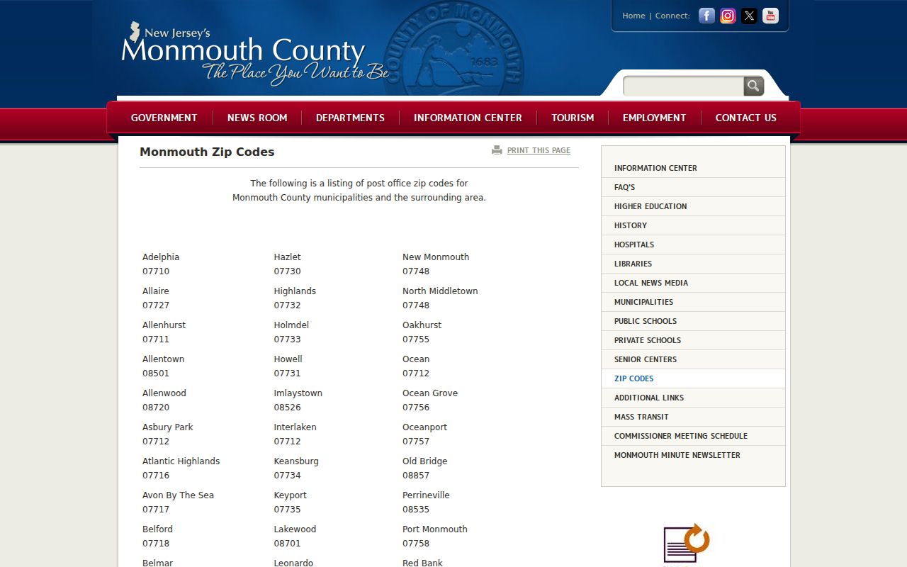
This Manalapan table supports a place-name search plan. It cannot identify a person, settle a Manalapan boundary, or replace an address-specific postal check.
Manalapan Place Names for ZIP Searches
Tennent, Wickatunk, Yorketown, Millhurst, and Smithburg are valuable historical and geographic search terms. Preserve the term that appears in the original source. Manalapan formed from western Freehold in 1848, and offices were first in Englishtown before moving to Tennent after borough separation. Those changes can make an older record look geographically unfamiliar even when it belongs in a Manalapan research trail.
The Manalapan Township history supplies that place-name context and is useful beside the county table. Search a historical name in newspapers, library catalogs, and archive indexes, then add a modern jurisdiction note only when an official source supports it.
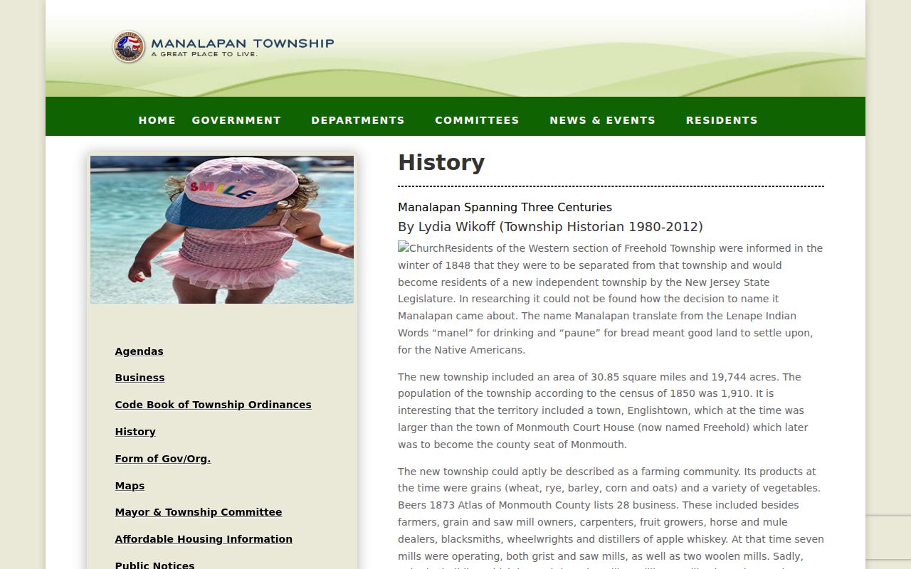
The history page helps explain why a Manalapan source may say Tennent or Englishtown. It does not turn every address with one of those names into a Manalapan Township parcel.
Search a Manalapan ZIP Code
No official Manalapan ZIP-wide resident search was documented. This Manalapan ZIP Code Directory workflow is address-first. The OPRS property and tax-list tools use township, street, owner name, and block and lot rather than a ZIP field. New Jersey voter guidance is identity-based, and the live lookup was blocked during research, so a public Manalapan ZIP-wide voter search was not verified. Use a full address to confirm delivery first, then search Manalapan Township and street or a stable parcel key in the relevant official system.
- Confirm the current postal result with an address-specific USPS lookup.
- Check the municipality and street on the County ZIP table and Township map sources.
- Use the Manalapan Assessor or OPRS route with the street, block and lot, or current-owner fields supported by the portal.
- Read the resulting property or archive record as its stated record type, not as a household list.
- When a street has been identified, use the Manalapan street directory for the fuller by-address record path.
The method is deliberately narrow. It follows the Manalapan fields official systems actually offer and avoids claiming a ZIP filter where none was documented.
Manalapan ZIP Parcel Search Fields
ZIP is not the field that drives the Manalapan property systems. The Manalapan Township assessor gateway points to OPRS search modes, while the County GIS and tax-map routes work from the parcel. A Manalapan search that begins with a postal address should move to the street and then to block, lot, and qualifier whenever possible. Those Manalapan parcel identifiers remain useful when a mailing city differs from the situs location or when an older source prints another street form.
| OPRS or assessor field | Search use |
|---|---|
| Township name | Select Manalapan for the OPRS mode. |
| Address | Enter a street name or part of it according to the portal's instructions. |
| Owner name | Search the current owner name or part of it in name mode. |
| Block and lot | Use the paired parcel fields and confirm the format. |
| Qualifier | Add it when the parcel requires one. |
| Map controls | Use map or parcel tabs to move toward a property record. |
The OPRS tax-list archive provides address, owner, block and lot, aggregate, year, and category modes.
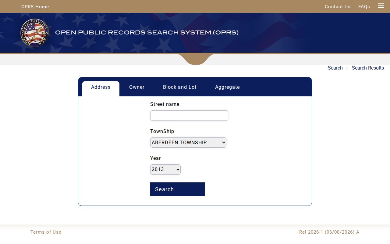
The tax-list interface shows why a Manalapan postal ZIP should be converted to an address or parcel search. A Manalapan tax-list image is an administrative snapshot, not proof of current presence or title.
Limits of a Manalapan ZIP Code Directory
A Manalapan postal-area search cannot establish who is currently at an address. OPRS identifies Manalapan property and recorded transaction material, but a property owner is not automatically the current occupant. The County GIS provides Manalapan map and parcel context, not a household directory. New Jersey voter-list material has statutory limits and protected fields; signatures and protected addresses are restricted, and commercial or charitable solicitation is prohibited by N.J.S.A. 19:31-18.1. The public delivery method and file format for a complete county voter file were not confirmed during research.
The New Jersey voter-registration guidance illustrates the identity and address information used by the registration process.
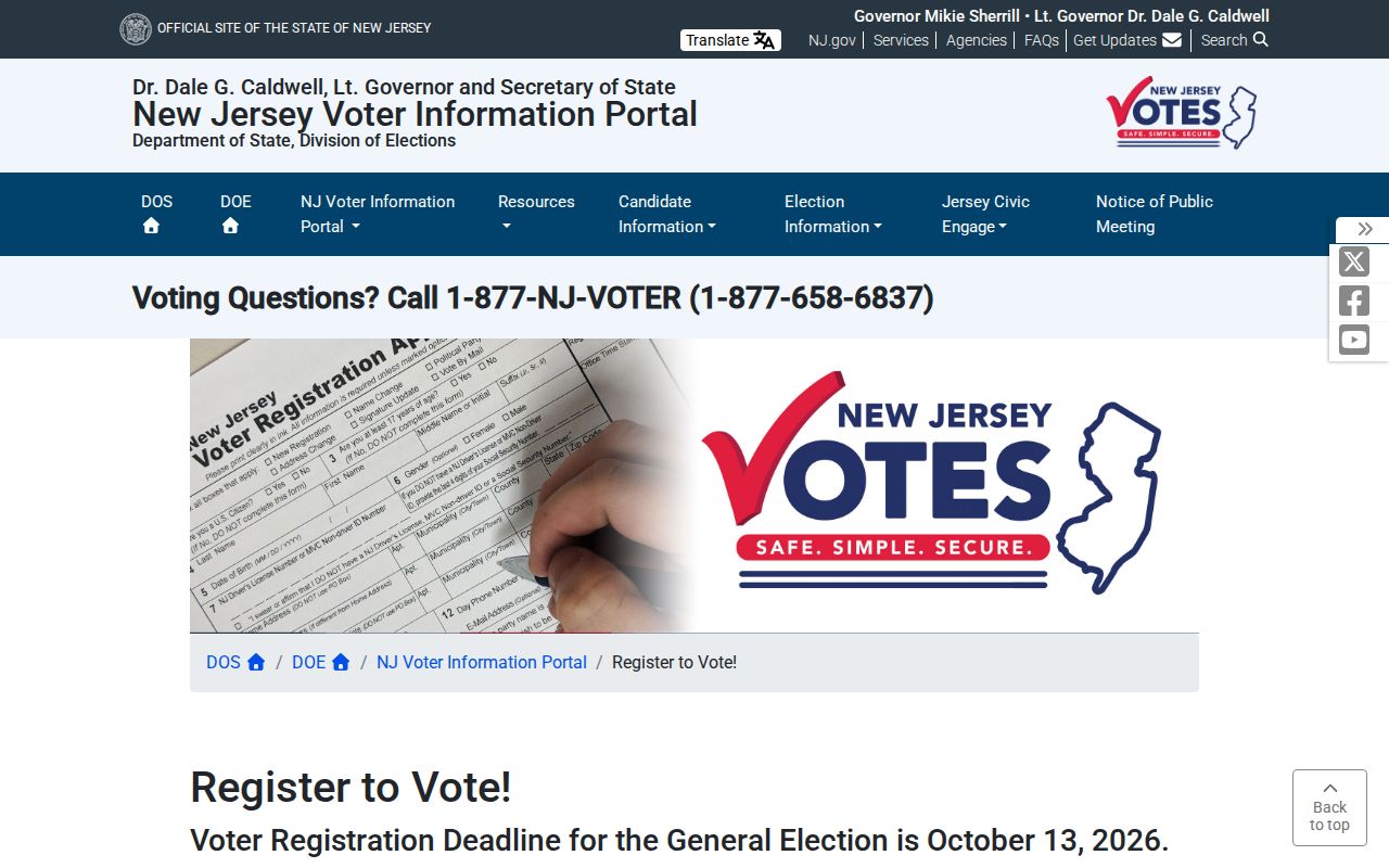
Registration guidance is not a public Manalapan ZIP-level people list. Treat protected or unavailable information as a boundary, not an invitation to reconstruct it.
Manalapan ZIP Boundaries and Record Fields
Manalapan address-level work needs more than one identifier. A parcel may have a situs street address, a separate owner mailing address, a block and lot, a qualifier, a subdivision or case number, a legal description, and an instrument or book and page. A ZIP can help locate the Manalapan street, but the parcel field and municipality determine the legal research path. For a new Manalapan subdivision or resubdivision, Township Chapter 75 identifies USPS as the source of the number and directs the municipal engineer to record it on the approved map.
- ZIP
- A postal delivery code used to route mail; it may cross municipal lines.
- ZIP+4
- An added delivery segment used for more precise postal sorting, not a parcel identifier.
- PO-box ZIP
- A code associated with post-office boxes; no such Manalapan-only code was verified in the local research.
- Unique ZIP
- A code assigned to one institution; the county source did not verify one for Manalapan.
- Carrier route
- A postal delivery sequence, not a township boundary or public record of people.
Note: use the Manalapan block, lot, qualifier, and municipality to preserve continuity when a street or mailing line changes.
Manalapan Maps and Postal Clues
Manalapan Township maps are a useful bridge between a postal place and the parcel systems. The municipal maps page provides Manalapan map links, and the Township tax-map route points toward the current viewer. County GIS provides Manalapan parcel and tax-map context, while the township identifies aerial imagery for 1997, 2003, 2010, and 2012. The exact GIS layer menu was not fully exposed in research, so do not assume a ZIP layer, radius tool, or boundary tool is available until the live viewer shows it.
The Manalapan municipal maps page is the documented starting link for map resources.
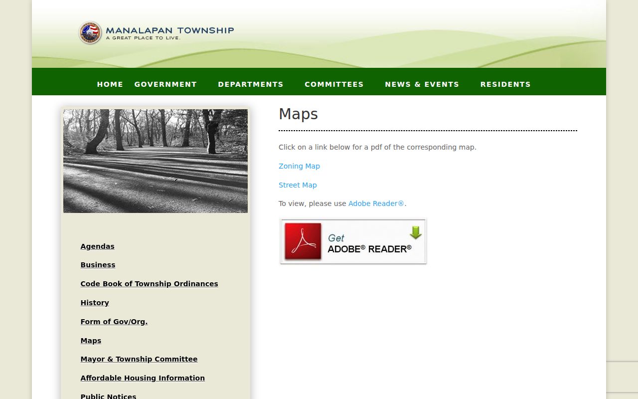
Use the map to orient a Manalapan search, then open the official parcel or tax record for the definitive Manalapan research field set. A map view is not a title record.
Manalapan ZIP Research Access Routes
Use the County ZIP table for official Manalapan place names, a USPS address-specific check for current delivery, and the assessor or OPRS routes for Manalapan property research. For a property card or tax-list question, the Manalapan Assessor is the local fallback at 732-446-8310. For a certified copy or title work, contact the Monmouth County Clerk in Freehold because OPRS images are noncertified. For an old Manalapan address or historical place label, try the Library Historical Room, County Archives, MCHA, or the New Jersey State Archives rather than assuming the current portal contains every period.
These Manalapan channels each answer a limited question. Manalapan postal delivery, parcel geography, recorded property, and historic place names should be kept separate until a source connects them. That is the most reliable way to use a Manalapan ZIP directory without making the ZIP do more work than it can.