
Manalapan Neighbors Block Sources
Public records can describe the land around a Manalapan address, but each source has a different purpose. The County GIS viewer and Manalapan Township tax-map route show parcel context. OPRS for Manalapan can connect a block and lot to a recorded owner or deed. Manalapan election records have a separate statutory path, and Manalapan library material can provide historical context. Private association lists were not located as public sources, so a block search should not imply that a current member roster exists.
| Source | What it can show about a block | Access |
|---|---|---|
| Monmouth County GIS Property Viewer for Manalapan | Parcel geometry, adjoining Manalapan lots, roads, tax-map context, and aerial context | Public viewer; tool labels can change |
| Manalapan Assessor / OPRS | Manalapan owner-of-record snapshot, situs and mailing relationship, assessment, and block/lot | Online products or Assessor fallback |
| OPRS deeds and tax lists for Manalapan | Recorded parties, legal description, annual owner/location snapshot, and dated instruments | Online index/image; certified copies from County Clerk |
| County election offices serving Manalapan | Statutory voter-list information where a release is allowed | Official request or lookup route, with redactions and use limits |
| Manalapan library and historical collections | Directories, newspapers, books, maps, and a historical research trail | In person, librarian-assisted, or appointment route |
Recorded ownership is not the same as current occupancy. A Manalapan mailing address can be outside Manalapan, a parcel can change through a subdivision or later transfer, and a deed grantee may no longer be the current owner. The most accurate label for a Manalapan parcel result is owner of record on the cited source date. That simple distinction keeps block research from becoming a claim about every person on the block.
Map a Manalapan Block
The adjacent-parcel method begins with one confirmed Manalapan address. In the Monmouth County GIS Property Viewer, zoom to the Manalapan street segment, identify the target polygon, note its block and lot, and inspect the polygons that touch it. The Manalapan Township identifies digital tax maps and aerial imagery from 1997, 2003, 2010, and 2012 as helpful context, but a map placement is not a legal boundary or a household record. Work outward only as far as the property question requires.
- Find the target parcel in the map or the Manalapan Assessor search route, then save the Manalapan municipality and block, lot, and qualifier.
- Click each adjoining Manalapan parcel and note only the parcel identity needed to compare it with OPRS.
- Search OPRS for Manalapan by block and lot or address to check the owner-of-record field, dated tax-list history, or a recorded instrument.
- Stop at the source limit. For a full named-street trail, use the Manalapan street directory rather than turning a block method into a broad list.
A Manalapan address, block and lot, qualifier, subdivision case, legal description, and instrument number are different identifiers. A legal description is usually more dependable than a street label when a Manalapan subdivision or number change is involved. The County GIS map and OPRS map mode offer zoom, right-click, and parcel actions; radius controls are documented for OPRS map mode, but the exact current options were not verified in the County viewer.
Note: Keep the target parcel separate from adjoining parcels in Manalapan research notes so a nearby lot is not mistaken for the same record.
Manalapan Block List Myth
A Manalapan parcel map answers land questions, not household questions. The Manalapan Assessor products document owner information, mailing address, property location, assessed value, sales data, tax-list history, property cards, annual assessment postcards, tax-map links, subdivision maps, and GIS or aerial context. They do not establish who presently occupies a property. The live text review also did not verify a specific exemption, sketch, or homestead-style field on a Manalapan card, so those details should not be assumed from another jurisdiction's system.
For an older Manalapan block, use a tax-list image as a dated snapshot and compare it with a deed and the tax map. OPRS warns that online land-record data is informational and not a title search. If a page is silent or a conflict matters, contact the Manalapan Assessor at 732-446-8310, use the County Clerk in Freehold for certified or title work, or ask the Manalapan Township Clerk or archives for a specific historical record. That fallback chain is more dependable than guessing from a map layer.
Manalapan Voter File Boundaries
For Manalapan voters, Monmouth splits election duties among three offices. The Board of Elections handles polling locations, drop boxes, counting, and poll workers. The County Clerk handles vote-by-mail applications and ballots, candidate petitions, sample ballots, and result certification. The Superintendent of Elections and Commissioner of Registration maintains registration, party affiliation, poll books, and machines. The Manalapan Township Clerk can help with local registration and address-change routing.
The Monmouth County Board of Elections page is the official source pictured for this Manalapan block-record route.
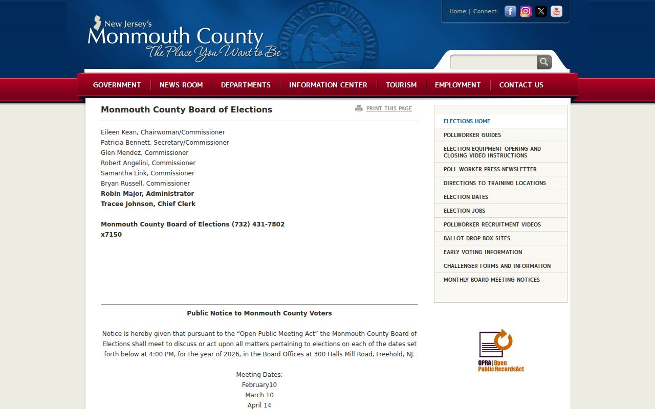
The Board's work concerns Manalapan election administration, not a block directory. Route registration or poll-book questions to the office that maintains those records.
The Monmouth County Superintendent of Elections is the Manalapan registration custodian pictured below.
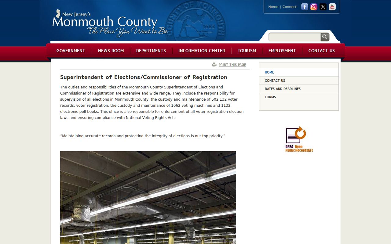
Statutory Manalapan list information can include name, address, party, ward, and district, but signatures and protected addresses are restricted. The current full county file format and a complete public street-level web search were not verified, so do not promise one.
The New Jersey county election-official directory supplies the statewide routing view used for this Manalapan county-election route.
The official Manalapan voter registration lookup was blocked by a 403 response during the research review, and its live field list was not captured. Request only the lawful, specific election record that is needed, and never bulk-republish a voter file.
Manalapan Community Access
No named Manalapan neighborhood association with a public member directory was located in the official sources. Private HOA, congregation, and block-watch rosters are not public directories. The available Manalapan public-facing community layer is narrower: Manalapan Township civic material, the County Library Historical Room, and the Monmouth County Historical Association. These can help locate a meeting notice, local book, newspaper, scrapbook, map, or older directory, but they should not be used to assemble a current household list.
Township Clerk
Manalapan Municipal Clerk routes Manalapan Township-created records, appointments, permits, and identifiable OPRA requests. Ask for the relevant department and record series.
Historical Room
Monmouth County Library's Historical Room provides local books, directories, newspapers, scanning, and librarian assistance at the Manalapan Headquarters library.
MCHA Research Library
Monmouth County Historical Association offers appointment-based manuscript and genealogy support in Freehold for Manalapan research; obtain a quote before a broad request.
Ask the Historical Room specifically about reverse or criss-cross directories, which arrange entries by address when a verified run exists. The public research did not confirm a Manalapan run, so record the publication year and its abbreviation key before treating an entry as evidence. Historical terms such as Tennent, Wickatunk, Yorketown, Millhurst, Smithburg, Englishtown, and Freehold can be useful Manalapan search variants, but the Manalapan municipality field still controls attribution.
Note: A Manalapan public meeting notice or organization contact page does not make a private membership roster a public research source.
Manalapan Neighbors Source Comparison
Official records and commercial neighbor-search tools serve different purposes. The official path identifies a custodian, record date, field set, access rule, and correction route. Commercial tools may blend records from different times and places, often without showing the underlying source or whether a person has a current connection to the block. For a property, family-history, or civic question, a narrow official source is more useful because its limits are visible.
| Question | Official parcel and records route | Commercial neighbor-search category |
|---|---|---|
| Which lot touches this address? | GIS parcel geometry and tax-map context, with a visible source | May show a broad location without a parcel basis |
| Who is named in a dated land record? | OPRS index or County Clerk certified-copy route | May combine older entries without record-role context |
| Why is an address absent? | Custodian, OPRA, ACP, Daniel's Law, or court-rule explanation | Often no access or redaction explanation |
Use the official date, source label, and correction path. A result should say owner of record, recorded party, voter-file entry, or historical index hit when that is what the original source shows. That wording is both more accurate and more respectful of people whose information may be incomplete or protected.
Manalapan Neighbor Privacy Limits
New Jersey public-record access has a safety boundary. The Address Confidentiality Program provides a substitute address and mail forwarding for eligible participants. It cannot erase every historical record, but state and local agencies must accept the substitute address. Daniel's Law gives covered people and household members a route to request residential-address redaction from specified government records and websites. A redaction is a safety control, not an invitation to find the underlying address through another source.
The New Jersey Address Confidentiality Program explains the substitute-address protection shown below.
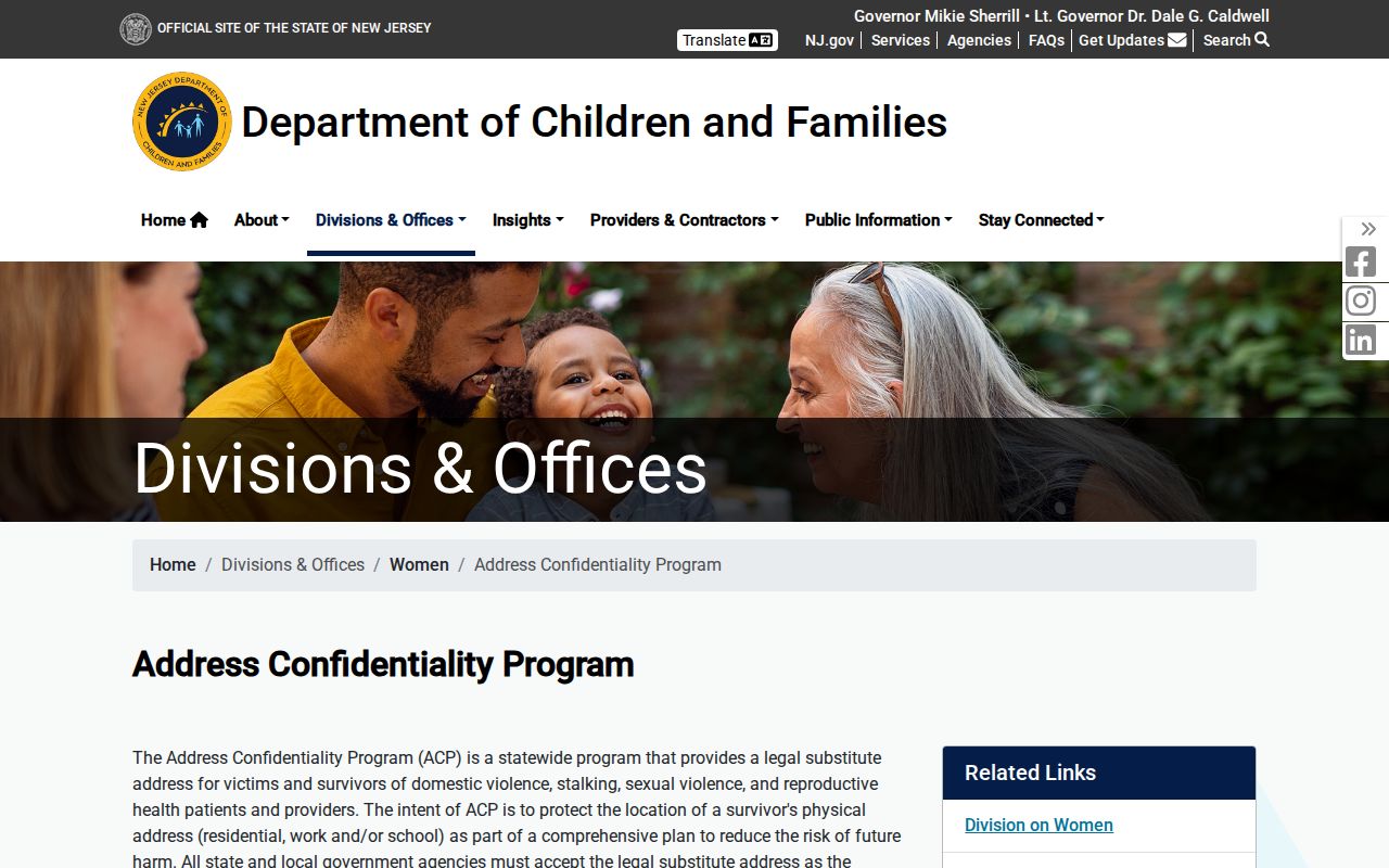
Keep protected addresses, precise unit numbers, personal phone or email details, signatures, vital data, and private delivery or utility information out of any block notes.
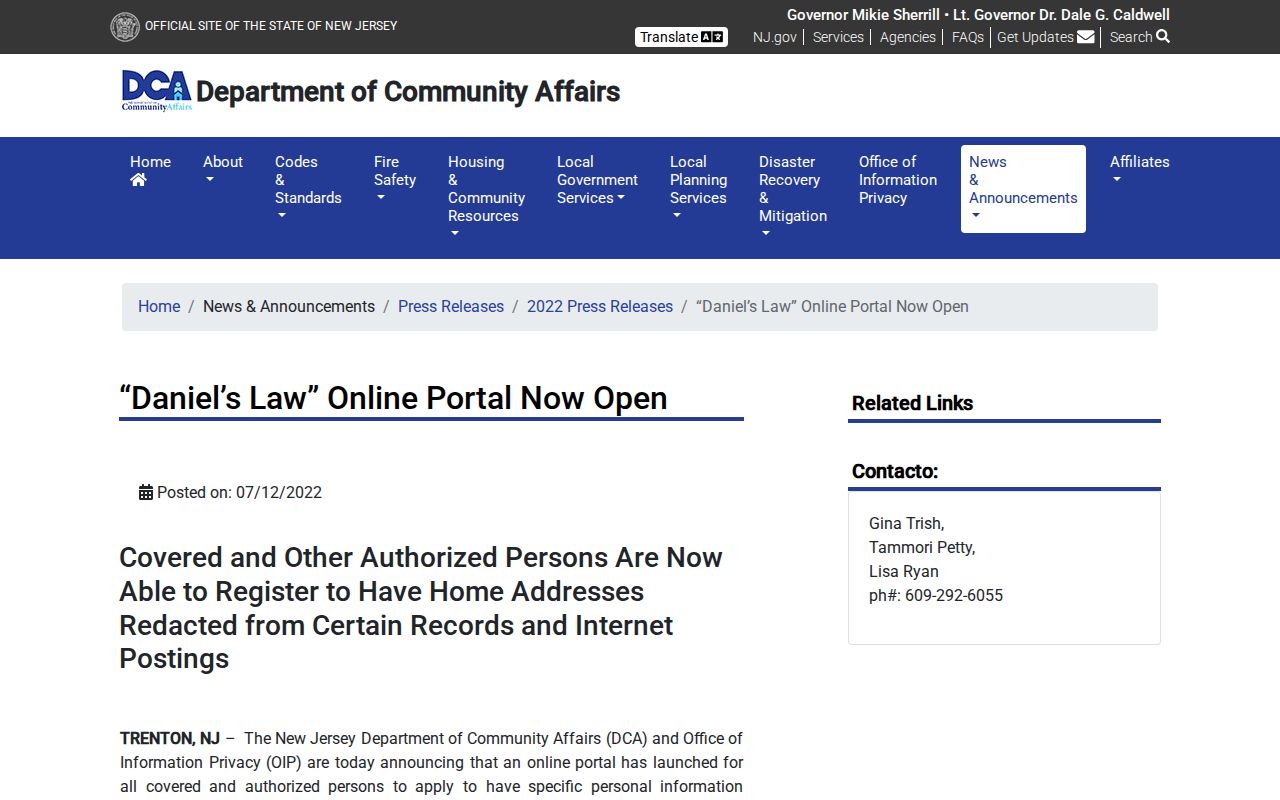
The New Jersey Daniel's Law protection notice is the source pictured for residential-address redaction.
New Jersey's voter statute also restricts signatures and protected addresses, while utility customer records are not a public household directory. Each restriction is a reason to narrow the question, not a gap to defeat.
Manalapan Block History Clues
Older blocks need place-name context. Manalapan formed from western Freehold in 1848, and Township offices were in Englishtown until 1888 before moving to Tennent after borough separation. Those shifts can explain why a historical record uses a name that differs from the current mailing place. The 2019 road map has a street index and grid, while Chapter 75 ties new subdivision numbering to USPS sequence and recording on approved maps.
There is no confirmed complete historic street-renaming list, city-directory run, or Sanborn map run for Manalapan in the reviewed sources. When a street number does not line up, compare the legal description, block and lot, subdivision map, tax-list year, and original place label. County and State Archives are the fallback for older material that predates the online record systems. That careful chain gives a block question context without treating history as a current household list.
Note: Preserve the place label used in the historical source, then verify the modern municipality through the parcel or municipal record.