
Search a Manalapan Street by Address
A Manalapan address search is strongest when it moves from a street to a parcel, not from a street to a claim about a household. The Manalapan Township Assessor route and Monmouth County records can identify the Manalapan property location, the owner-of-record snapshot, and the block, lot, and qualifier that tie several sources together. Those fields are more stable than a mailing city or a loosely written street name. A recorded owner may live elsewhere, and a person listed in a deed may be a buyer, seller, trustee, or other party rather than a current occupant.
- Start at the Manalapan Assessor route with Manalapan Township and a full or partial street name. Save the property location and the block, lot, and qualifier when shown.
- Open the Manalapan tax map or GIS view to check that the parcel is on the intended Manalapan street segment. Use its map context to avoid confusing a similar address.
- Search the Monmouth OPRS property and deed tools for the Manalapan municipality with the parcel identifiers. Label each result by its actual role, such as owner of record or grantor.
- Read the latest Manalapan deed before moving backward. Its legal description, instrument, and parties provide a safer bridge than a street label alone.
- For an earlier household question, ask the Monmouth County Library Headquarters in Manalapan or MCHA whether a relevant reverse or criss-cross directory is available. The online research did not confirm a Manalapan run.
The Manalapan Assessor record-search gateway is the first official stop for this route.
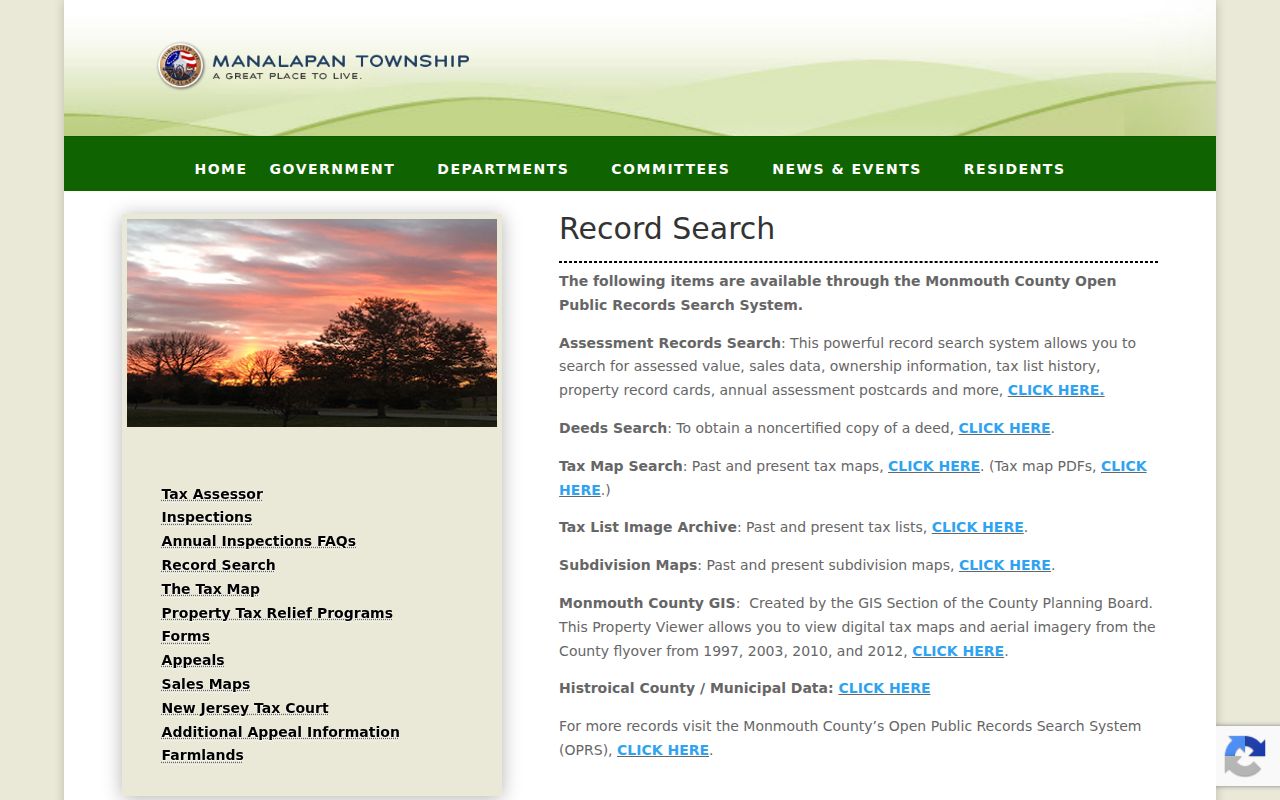
The gateway points researchers toward Manalapan property cards, tax-list history, maps, and related county tools. Treat each product as a dated administrative record, not a complete resident list.
Manalapan Street Directory Property Fields
Use the exact field that matches the question. A Manalapan address mode is useful when a street is known, while an owner-name mode is useful only after a name has been tied to the correct Manalapan parcel. Block and lot searches are especially helpful when a street has changed, a condominium needs a qualifier, or a record uses a mailing city outside Manalapan. The Manalapan Township route documents ownership information, mailing address, property location, assessed value, sales data, tax-list history, property record cards, assessment postcards, subdivision maps, and GIS or aerial context.
| Manalapan search field | Input | When it helps | Record caution |
|---|---|---|---|
| Township name | Select Manalapan | Keeps the search in the Manalapan municipality | A ZIP or mailing city is not the municipality field |
| Address | Street or part of street | Finds a Manalapan address-keyed property route | Confirm the resulting block and lot |
| Owner name | Current owner or part of a name | Tests a Manalapan owner-of-record result | It does not establish occupancy |
| Block and lot | Parcel identifiers | Links Manalapan maps, tax records, and deeds | Use a qualifier when the parcel requires one |
| Map controls | Parcel click or property tab | Checks Manalapan location and map context | Map placement is not a title determination |
The Monmouth OPRS address and owner search shows the county-side path that follows those parcel identifiers.
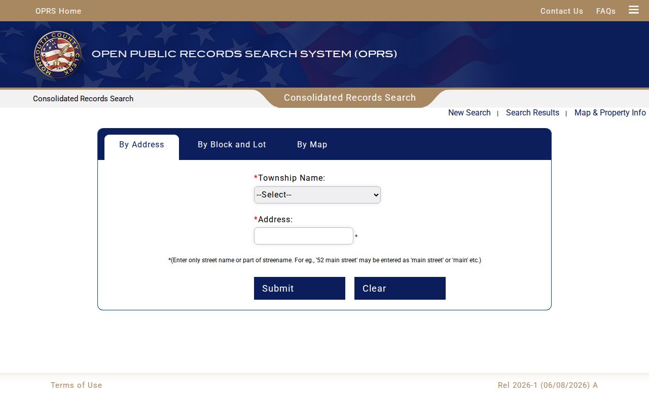
Compare the situs, or property location, with the mailing address before drawing any conclusion. A mail-to address can be outside Manalapan, while the parcel itself remains in Manalapan Township.
OPRS Search Terms for Manalapan Streets
The Monmouth County Clerk's OPRS portal covers deeds from January 1, 1970, mortgages from January 1, 1976, IRS liens and releases from January 1, 2010, and other published records from October 1, 1996. It supports searches by instrument, name, Manalapan municipality, block, lot, and date. On the deed page, the help material separates instrument-number, document-type, block and lot, and name searches, then provides municipality and date filters. Its date range is capped at 90 days.
For a Manalapan street directory search, enter Manalapan Township and only a street name or partial street name where the address route directs it. Then verify the Manalapan block, lot, and qualifier. A street name alone is weak evidence, especially in older material that may use Tennent, Wickatunk, Yorketown, Millhurst, Smithburg, Englishtown, or Freehold. Search those historical labels as variants, but preserve the Manalapan municipality in the underlying record.
The OPRS subdivision-map search is another Manalapan address-history source when the parcel sits in a later subdivision.
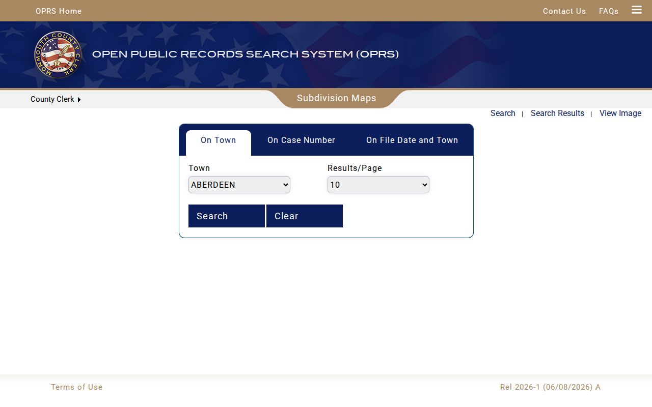
A subdivision map can identify Manalapan parent tracts, lots, a case, and a date when the image is available. It does not turn an address match into proof that a named person currently lives there.
Note: OPRS images are informational and noncertified, so certified copies and title work belong with the County Clerk in Freehold.
Manalapan Street Records by Address
Several Manalapan sources are keyed to an address or parcel, but they answer different questions. The Manalapan Assessor and tax list provide an administrative ownership and assessment snapshot. A deed image records parties and a Manalapan transaction. The Manalapan tax map locates a parcel. Manalapan permits and certificates of occupancy can date work or an administrative event. The historical directory route may show an occupant or household notation if an onsite run is found. None of those sources is an all-purpose roll of everyone on a street.
| Address record | Keeper | What it can show | Access channel |
|---|---|---|---|
| Property card and tax list | Manalapan Assessor and OPRS | Owner snapshot, situs, mailing address, assessment, sales and tax-list history | Online route or Assessor contact |
| Deed or mortgage | Monmouth County Clerk and OPRS | Manalapan grantor, grantee, consideration, legal description, book or instrument | Online index and image; certified copy in person |
| Tax map and GIS | Manalapan Township and County viewers | Manalapan parcel geometry, roads, aerial context, tax-map identity | Online viewer or map product |
| Subdivision map | County Clerk and OPRS | Manalapan parent tract, approved lots, case, date, and town | Online search; image availability varies |
| Permit, zoning, or CO file | Manalapan Township Construction or Zoning | Work, use, road opening, complaint, or certificate context | Department inquiry or narrow OPRA request |
| Historical directory | Library Headquarters in Manalapan or MCHA | Address and household notation when a run exists | Onsite, librarian-assisted, or appointment research |
Election records require a separate, narrower route. Monmouth County divides election work among the County Clerk, Superintendent of Elections or Commissioner of Registration, and Board of Elections. The statutory public-list information may include a name, address, party, ward, and district, while signatures and protected addresses are restricted. The full county delivery method, file format, and a street-level bulk search process were not confirmed during the research. Do not promise a web view of registered voters along a street, and do not treat a voter-file entry as proof of current occupancy.
If a Manalapan online index is silent, use the holding office rather than treating silence as a negative result. The County Clerk handles certified copies and in-person title work, while the Manalapan Assessor can help with a specific property record. The Manalapan Township Clerk is the route for a specific municipal record. County and State Archives are the fallback for older deed and tax material.
Manalapan Street Grid and Parcel Keys
Manalapan's official 2019 road map uses a grid from A through J and 0 through 12, plus a street index. It is useful for orienting a Manalapan street search, but it is not a legal parcel boundary. Pair a grid square with an official Manalapan tax map or OPRS parcel record. Manalapan Township Code Chapter 75 also connects new subdivision and resubdivision numbers to USPS numbering and requires the municipal engineer to record the new number on the approved map within ten days of approval.
The Township also identifies digital tax maps and aerial imagery for 1997, 2003, 2010, and 2012. An aerial view can help recognize a changed parcel layout or later subdivision context, but it cannot establish a transfer date, a legal boundary, or a household connection. Pair the map with the tax-list year and the recorded document. Where a block-and-lot search includes a qualifier, preserve that qualifier exactly in notes, because it can distinguish the relevant parcel from a nearby record.
The Manalapan tax-map viewer provides the map side of that street-directory work.
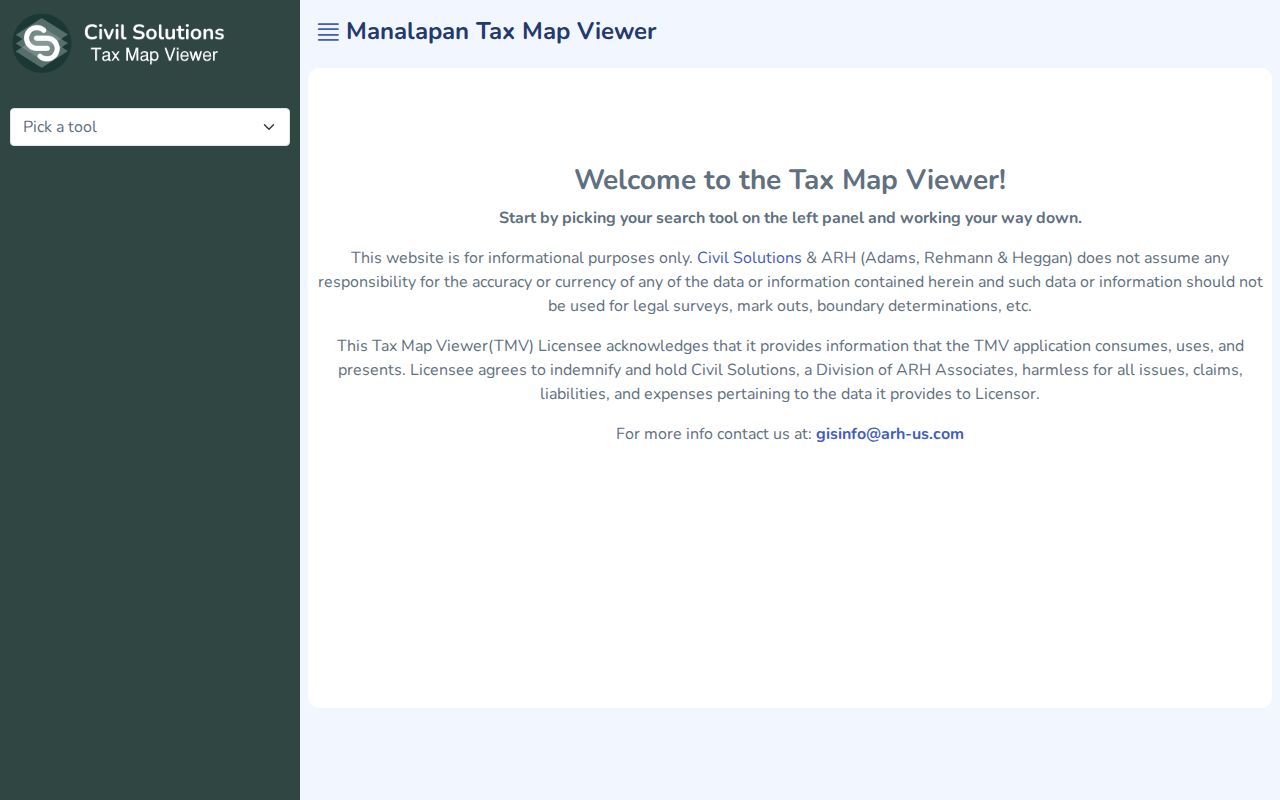
The viewer helps a researcher check parcel placement before taking the block and lot into an official index. It should not be used to publish a household-level map. Keep the map date and parcel identifier with every search result and source.
- Parcel
- A defined piece of land in the tax-map system, commonly tracked through block, lot, and sometimes qualifier fields.
- Situs address
- The physical property location. It can differ from the owner's mailing address.
- Plat or subdivision map
- A recorded map showing a tract or lots. It supplies parcel context, not a resident roster.
- Criss-cross directory
- A reverse-address directory that may list an address before a name, if a local run is available.
Manalapan Street Permits and Maps
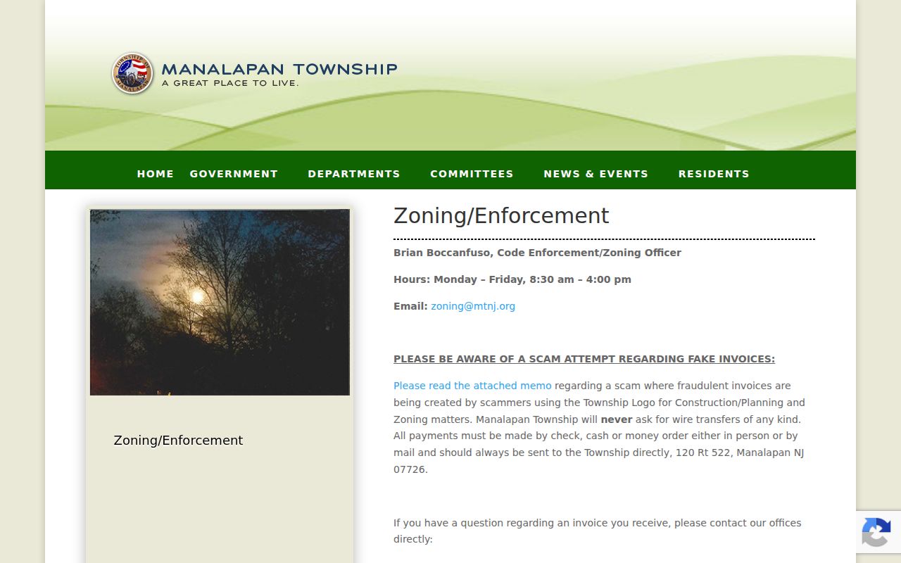
Manalapan Township Zoning and Enforcement handles zoning permits, certificates of occupancy, road-opening permits, and complaints. These Manalapan files can help date construction, a change, or a municipal action at an address. They do not establish that an applicant lives there. Keep the request narrow by identifying the Manalapan address, record type, and date range. When a record is not published online, use the Manalapan department or the appropriate OPRA custodian rather than guessing at a complete street file.
The Manalapan Zoning and Enforcement records page identifies the township access point for permit and enforcement questions.
Use a permit as an administrative timestamp, then compare it with the parcel, deed, and tax-list record. That separation prevents a work record from being mistaken for a resident record.
Historic Manalapan Street Search Terms
Manalapan formed from western Freehold in 1848. Township offices were in Englishtown until 1888 and later moved to Tennent after borough separation. That history explains why an older street, deed, newspaper, or directory reference may use a different place term. Tennent, Wickatunk, Yorketown, Millhurst, Smithburg, Englishtown, and Freehold are useful search variants, but the original record's municipality should control the conclusion.
For address-to-household work before the modern parcel tools, ask the Monmouth County Library Historical Room or the Monmouth County Historical Association about reverse or criss-cross material. Exact Manalapan and Tennent directory runs were not confirmed online, so the search should begin with an onsite catalog or staff question. The collection context and entry-reading method belong on the Manalapan city directories page.
Note: No complete official street gazetteer or historical street-renaming list for Manalapan was verified during this research.
Manalapan Street Directory Privacy Limits
A street directory can show a property or recorded transaction, not a complete household. People other than recorded parties, utility customers, and many personal contact details are not supplied by the parcel trail. New Jersey's voter information has statutory limits, its full street-level delivery method was not confirmed in this research, and protected addresses are redacted. A DMV address is not a general public lookup source under the federal Driver's Privacy Protection Act.
Use the smallest amount of information needed to verify the record. Do not republish full dates of birth, signatures, precise unit information, private phone or email details, medical material, financial account numbers, or unredacted court, vital, or voter images. New Jersey OPRA favors access to government records while still requiring exemptions and redactions. A request for a specific public record does not authorize trying to reconstruct a protected person's physical location.
New Jersey's Address Confidentiality Program uses a substitute address for eligible participants, and Daniel's Law provides residential-address redaction for covered people and household members. A redaction is a safety control, not a missing-data puzzle. Suppress precise unit numbers, signatures, private phones, and protected addresses in any notes.
Lawful use. Use Manalapan address records for personal, lawful research and property or family history. Do not use them to stalk, harass, threaten, intimidate, or try to identify a protected address.